01 / 04
Scroll
Our Services
Revolutionizing Agriculture with Aerial Intelligence
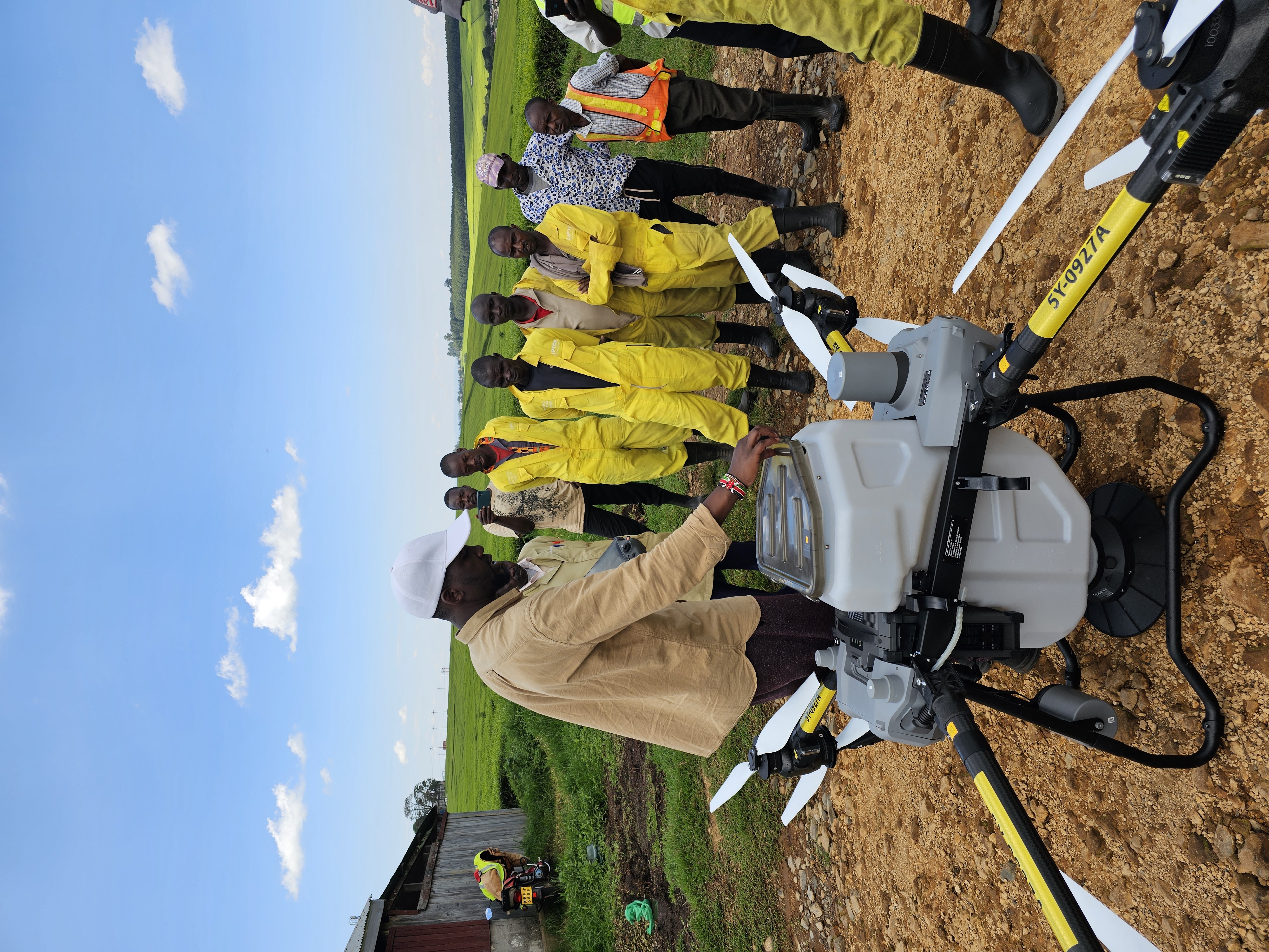
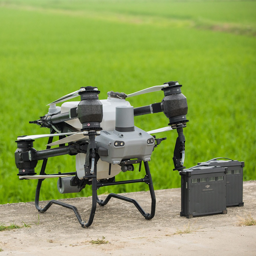
Precision Agriculture
Harness the power of drone technology to improve productivity, reduce input costs, and make data-driven farming decisions.
Learn More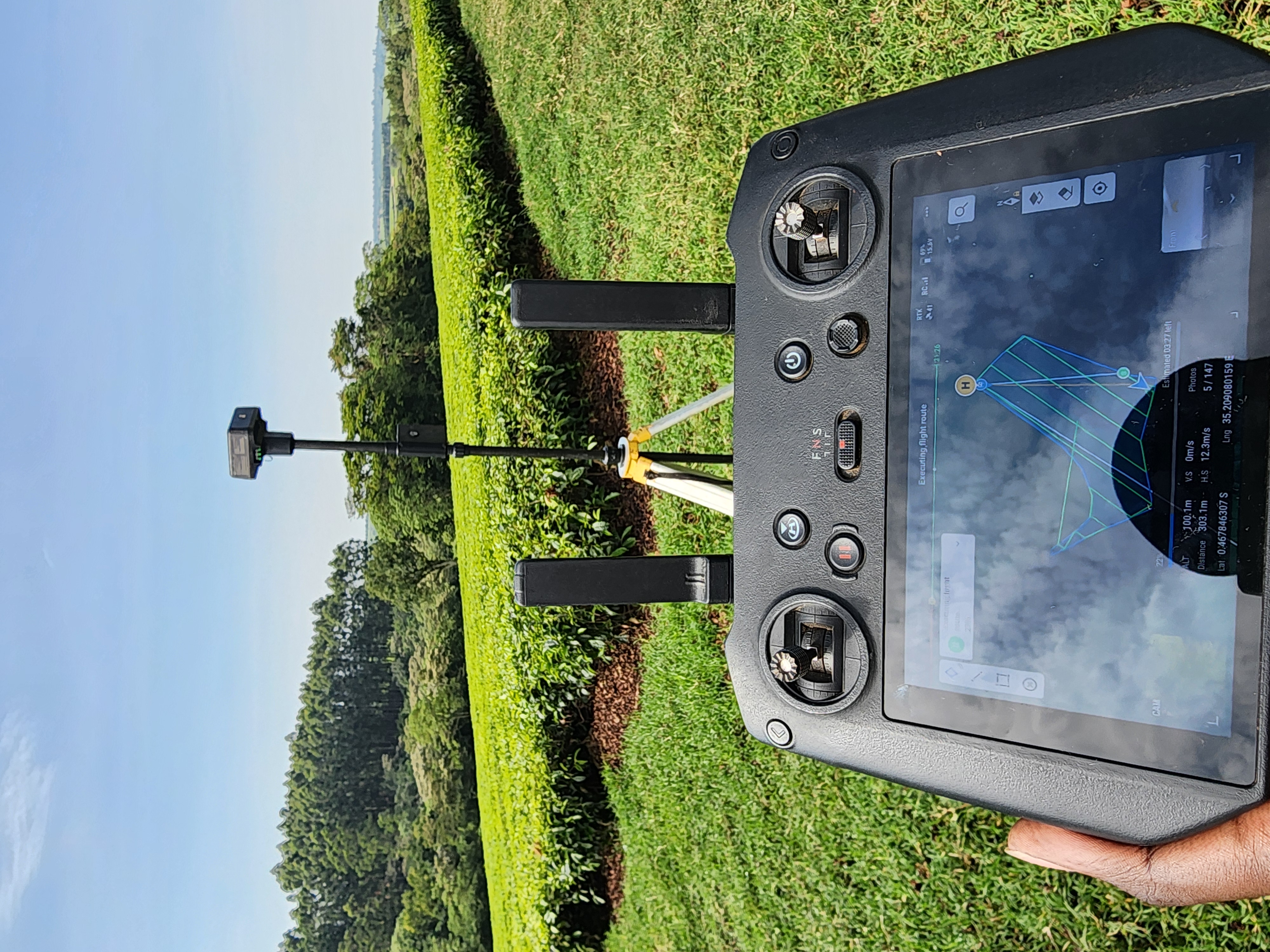
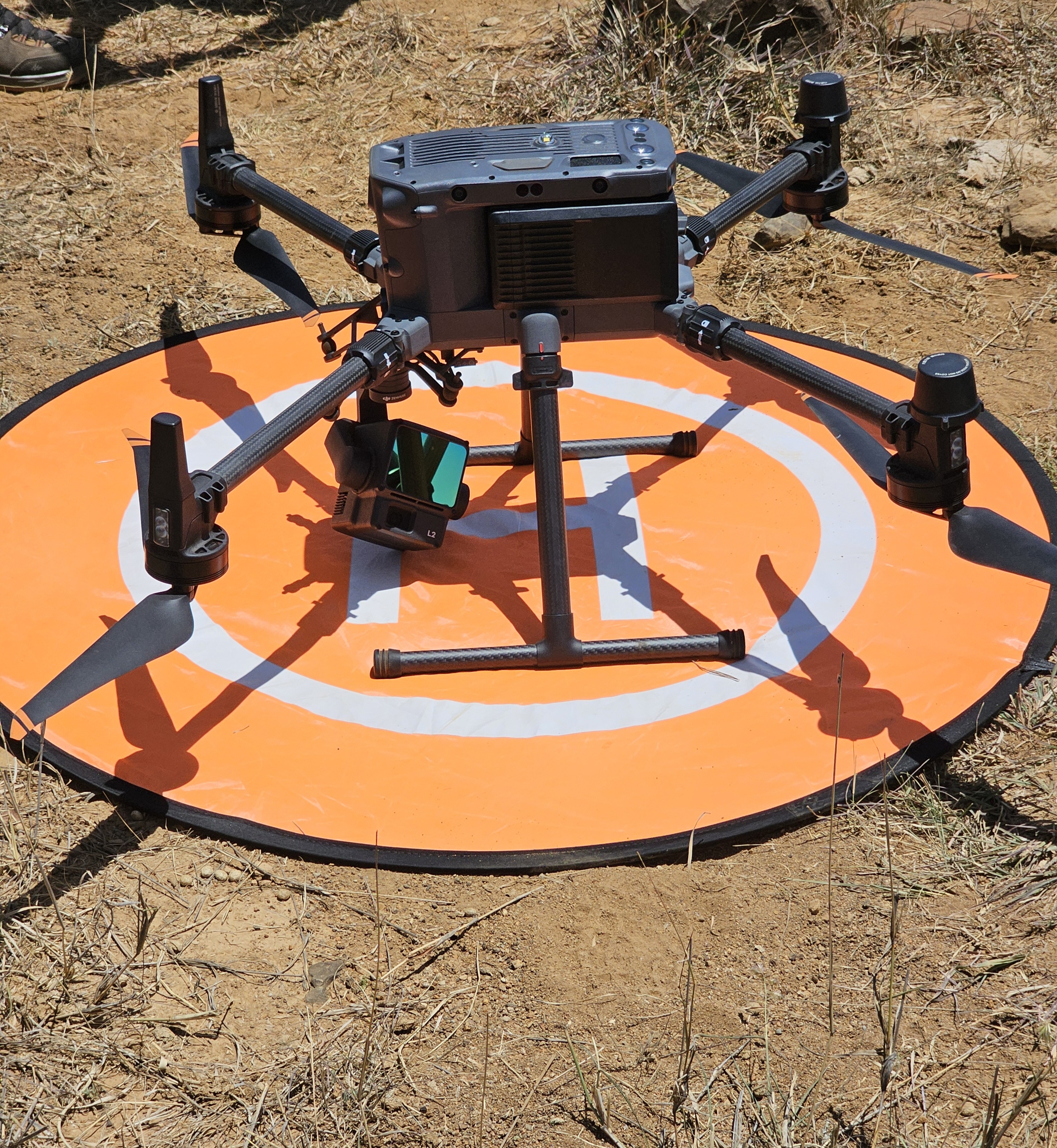
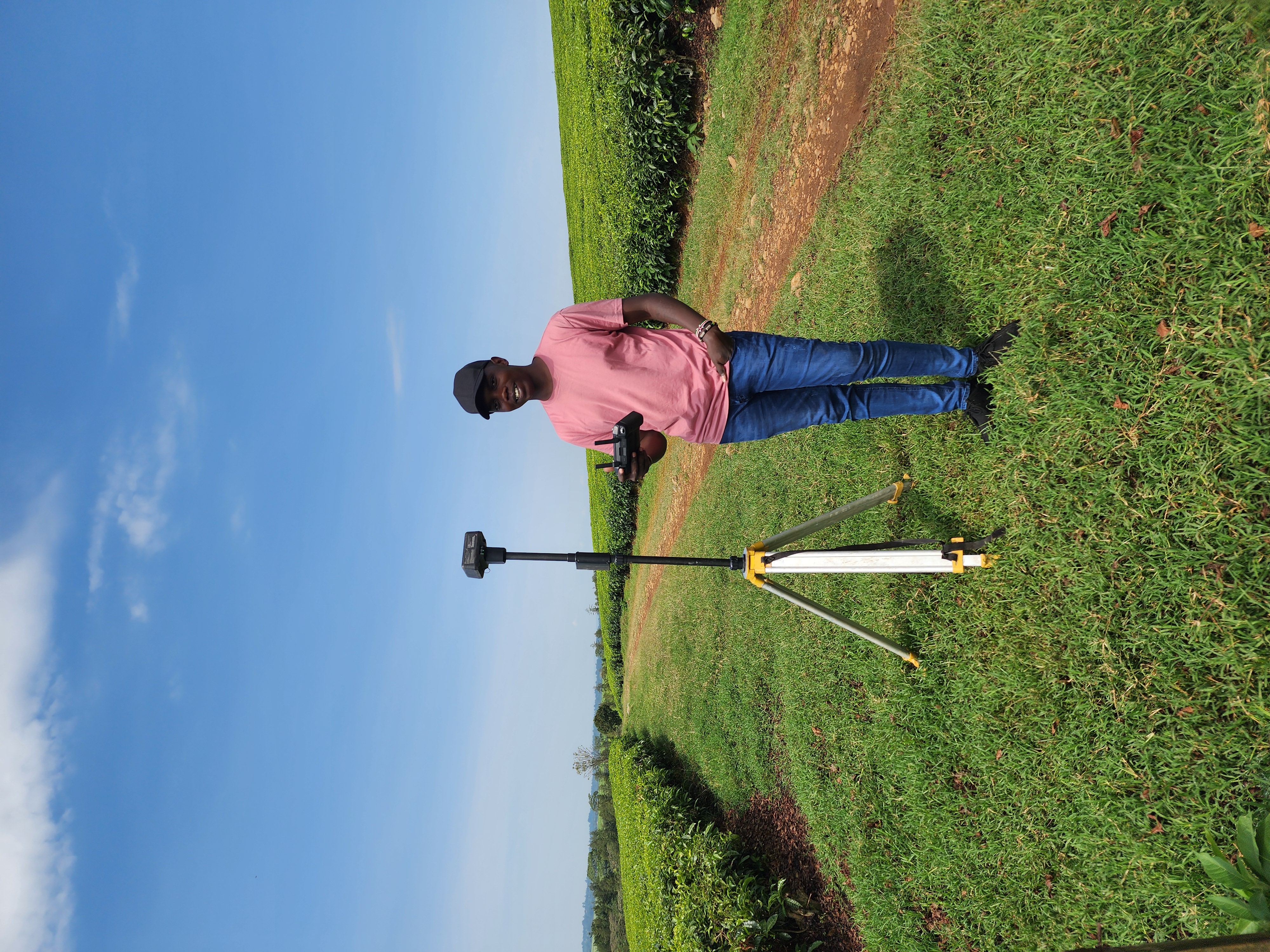
Surveying & Mapping
High-accuracy aerial data collection for agriculture, construction, environmental management, and land development.
Learn More
Agri-Finance Data Solutions
Reliable field data to accelerate insurance claims and financing access.
Learn More
100k+
Acres Mapped
15k+
Acres Sprayed
3.5k+
Acres Spread
4
DJI Academy Graduates
100k+
Acres Mapped
Our Purpose
Empowering farmers and agribusinesses through aerial intelligence.
We combine precision drone operations with actionable data to drive better decision-making across agriculture and Agri-finance.
Discover how we are changing the future of farming, from the sky down.
Discover how we are changing the future of farming, from the sky down.
Our Projects
Visit Our Projects Gallery
Discover how our drone services revolutionize precision Agriculture
Trusted Technology & Industry Partners