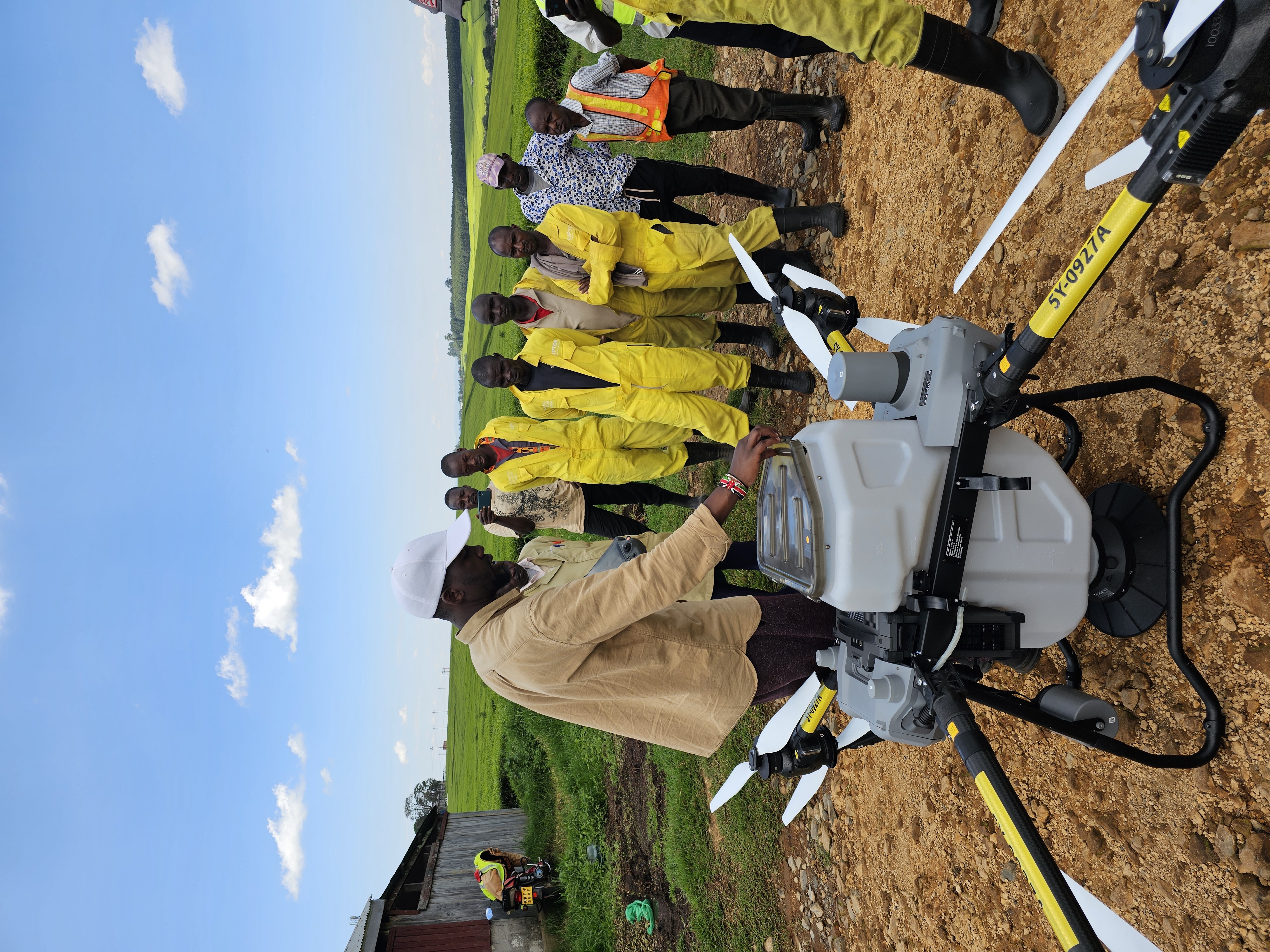
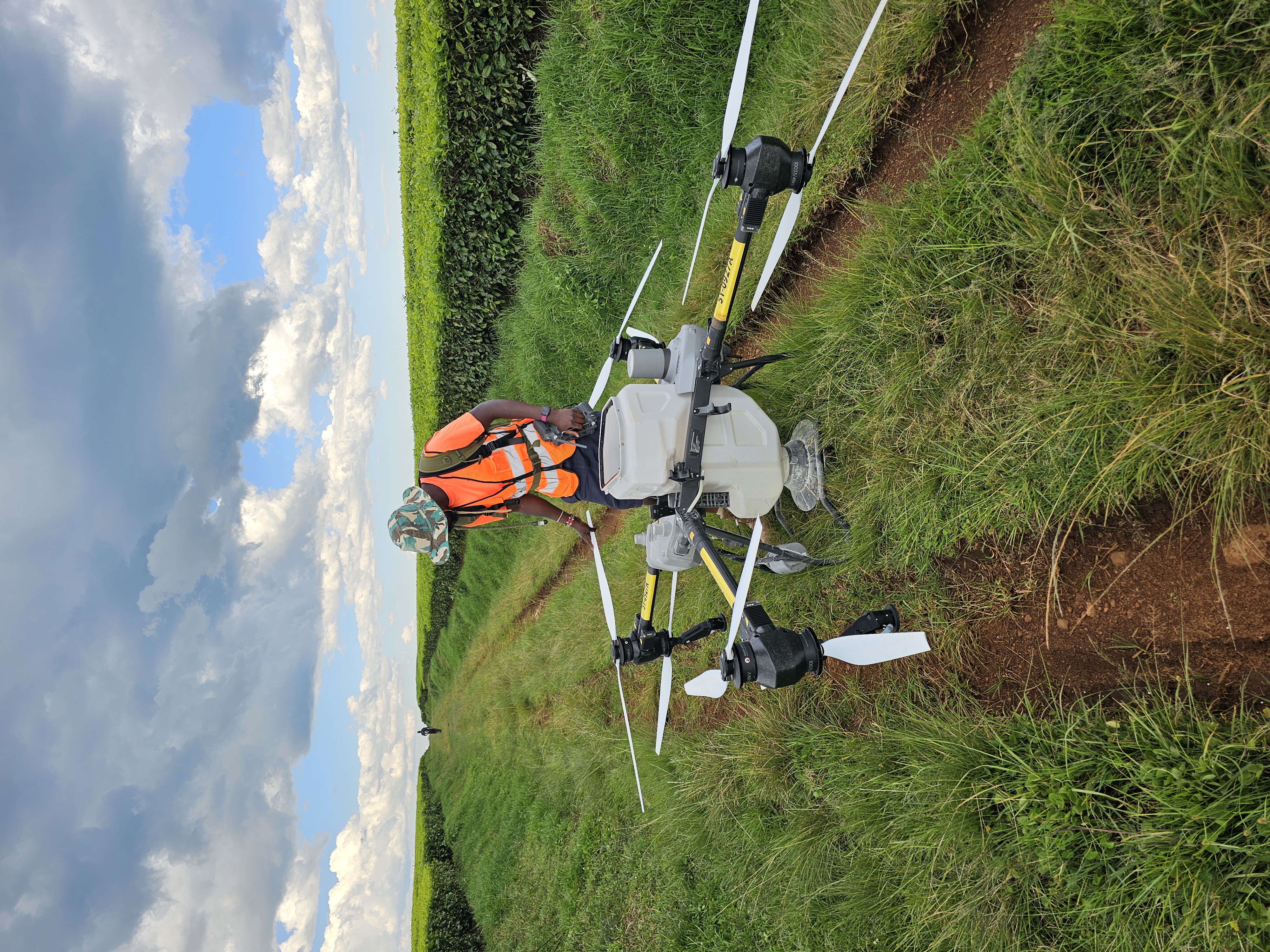
Topographical Surveys
Generate detailed terrain models for:
1. Farm planning
2. Irrigation design
3. Road design
4. Construction projects
Orthomosaic Mapping
High-resolution aerial maps for:
1. Farm management
2. Land administration
3. Infrastructure planning
4. Project monitoring
Area & Boundary Mapping
Accurate measurements for:
1. Farm acreage verification
2. Land subdivision planning
3. Project planning
LiDAR Surveys
Advanced terrain mapping capable of producing highly detailed elevation models and surface analysis.
Applications
1. Agricultural land planning
2. Drainage design
3. Forestry inventories
4. Environmental assessments
Topographical Surveys
Orthomosaic Mapping
LiDAR Surveys