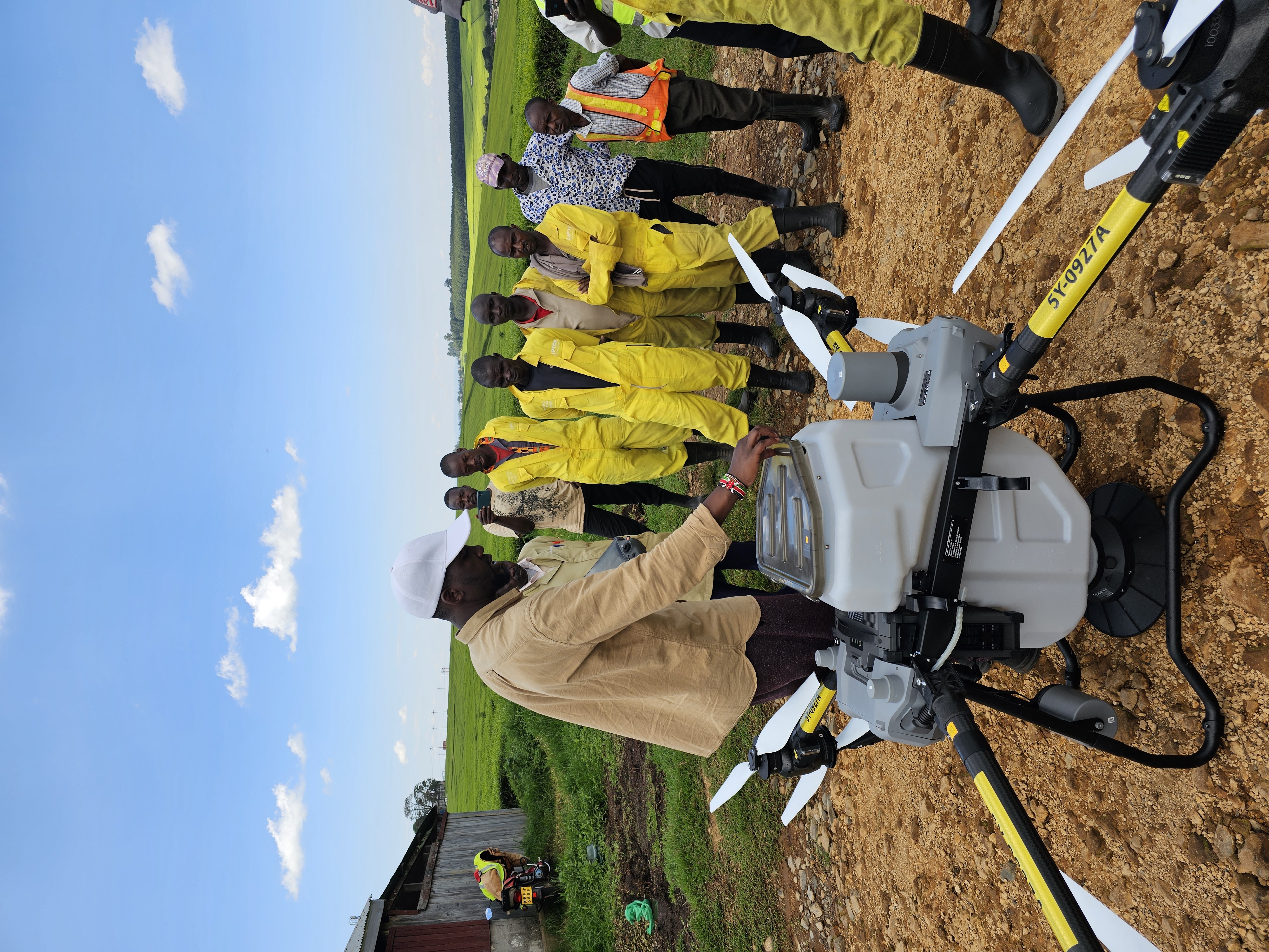
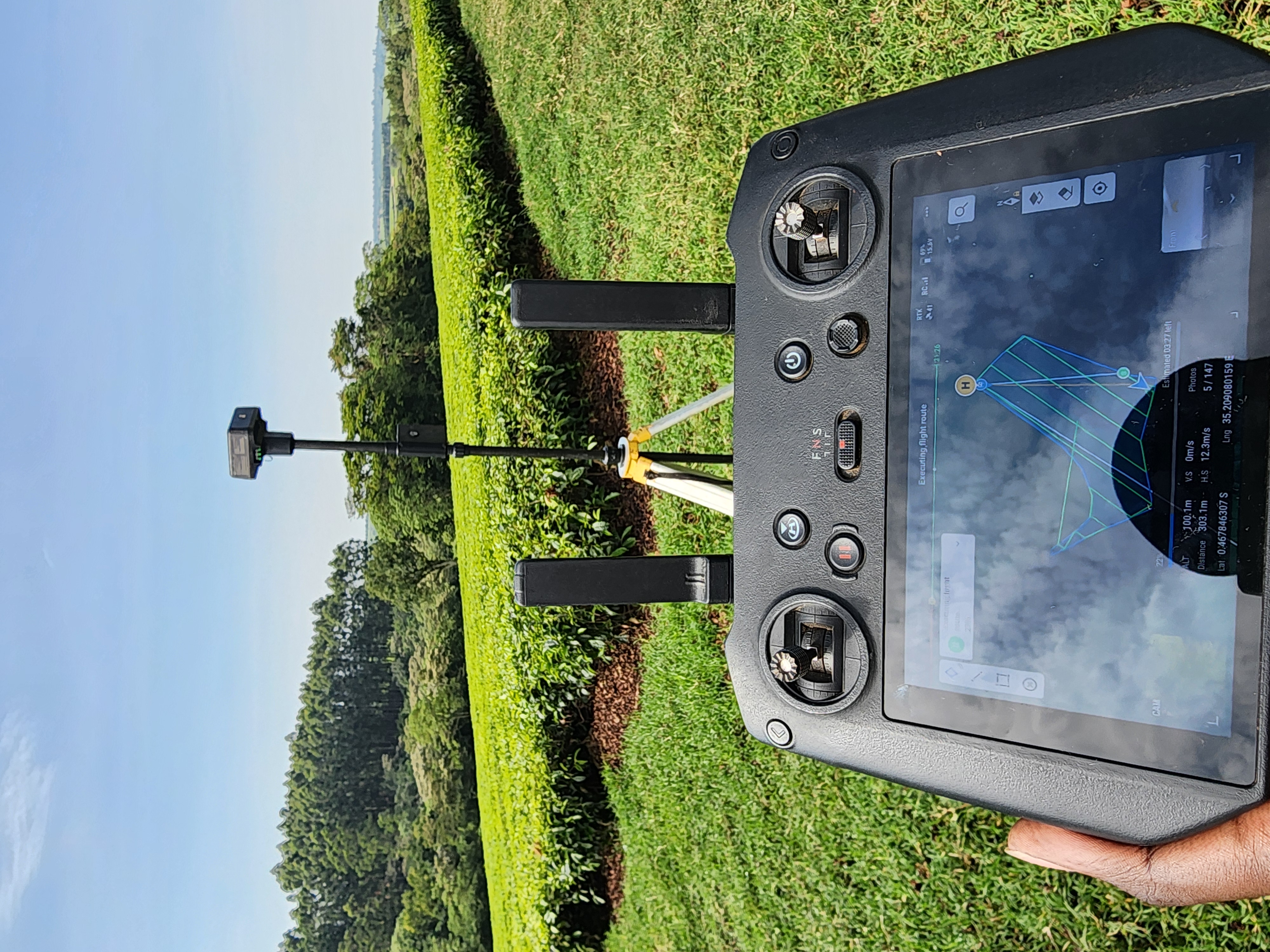
High-precision topographic mapping using drone-based LiDAR and photogrammetry. Ideal for irrigation planning, boundary verification, and infrastructure development.
3D models, slope analysis, and boundary verification
Perfect for irrigation planning and farm expansion
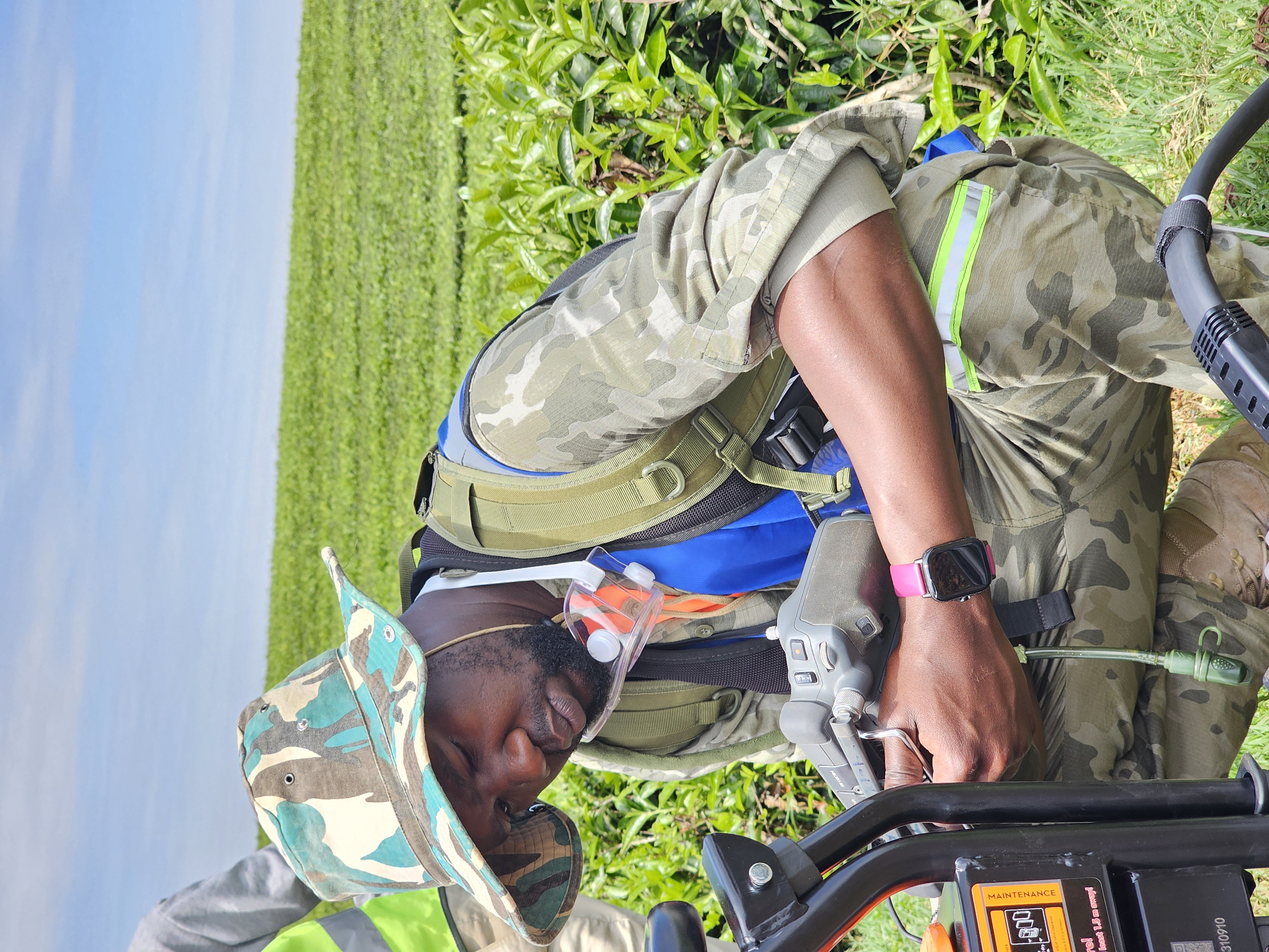
Drone-based LiDAR and photogrammetry services